Google Trekker Features Hiking Trails of Grand Junction
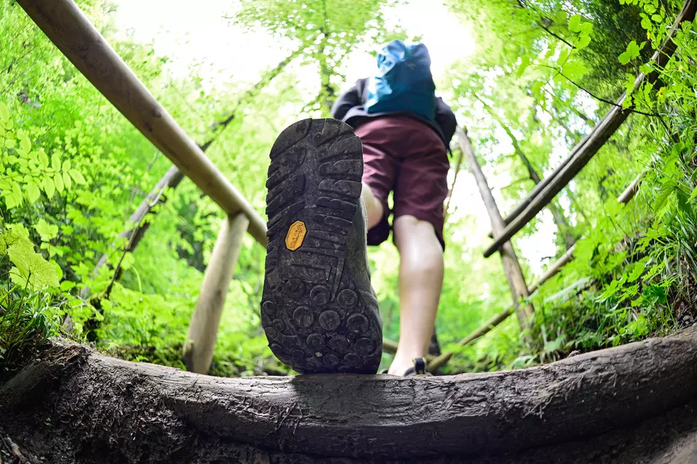
This is absolutely awesome! If you are a fan of all the trails here in the Grand Valley, now you can see them with Google's Street View. Grand Junction's Visitor and Convention Bureau was loaned the Google Trekker camera to log photos of over 50 miles of Grand Valley trails.
In an effort to attract more tourist to Grand Junction and the surrounding areas, the Grand Junction Visitor & Convention Bureau partnered with Google to feature the great trails around the area.
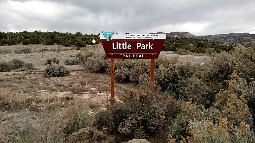
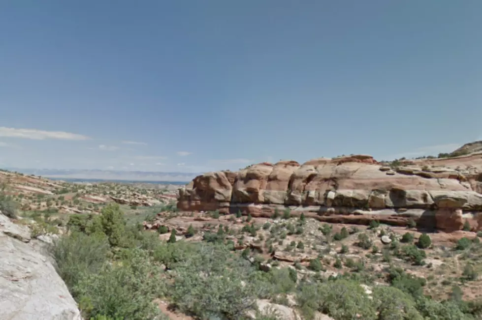
There are 23 trails from Grand Junction, Palisade and Fruita featured on Google maps, and some of them are the most popular hikes intheaarea!
This gives everyone an amazing view of that you can do on the trails around the area! Check it out for yourself!
Here's a partial list of trails included.
- Colorado National Monument, Devil’s Kitchen
- Colorado National Monument, Independence Monument Overlook
- Palisade Rim/Ute Petroglyph Trail
- Trail Through Time, Rabbit Valley
- Lunch Loops Trail System, Tabeguache Trail
- Lunch Loops Trail System, High Noon Trail
- Colorado Riverfront Trail, Palisade Trail
- Colorado Riverfront Trail, Clifton Nature Park Trail
- Colorado Riverfront Trail, Connected Lakes Trail
- Devil’s Canyon Trail, McInnis Canyon National Conservation Area
- Zippity Do Da, 18 Road Trail System
- Kessel Run, 18 Road Trail System
More From Mix 104.3