Top of the Rockies Takes You To the Tallest Peaks in Colorado
The Top of the Rockies Scenic Byway takes you outside of Western Colorado and begins in Minturn. Minturn is a town between Beaver Creek and Vaill. No luxurious resorts or restaurants here. Follow the Arkansas River to mining camps, a snow cross and Turquoise Lake.
The Top of the Rockies Scenic Byway is a little over two hours long. Drive through the White River National Forest and past Mount of the Holy Cross. At 14,005 feet, its natural cross shape gives Mount of the Holy Cross its namesake. Covered in snow, the cross beams on the side of the mountain.
As you're driving on the Top of the Rockies Scenic Byway, you'll see one of Colorado's most iconic and beautiful bridges in Red Cliff, according to Bridgehunter. The Red Cliff Arch Bridge is a steel bridge on the National Register of Historic Places and is almost 500 feet long.
After you pass the Red Cliff Arch Bridge, you'll cross the Continental Divide and the Turquoise Lake. This massive lake is a nearly 1,800-acre reservoir of the Arkansas River. The Top of the Rockies Scenic Byway takes you past the Baby Doe Cabin & Matchless Mine, past Twin Lakes, and to massive 14ers.
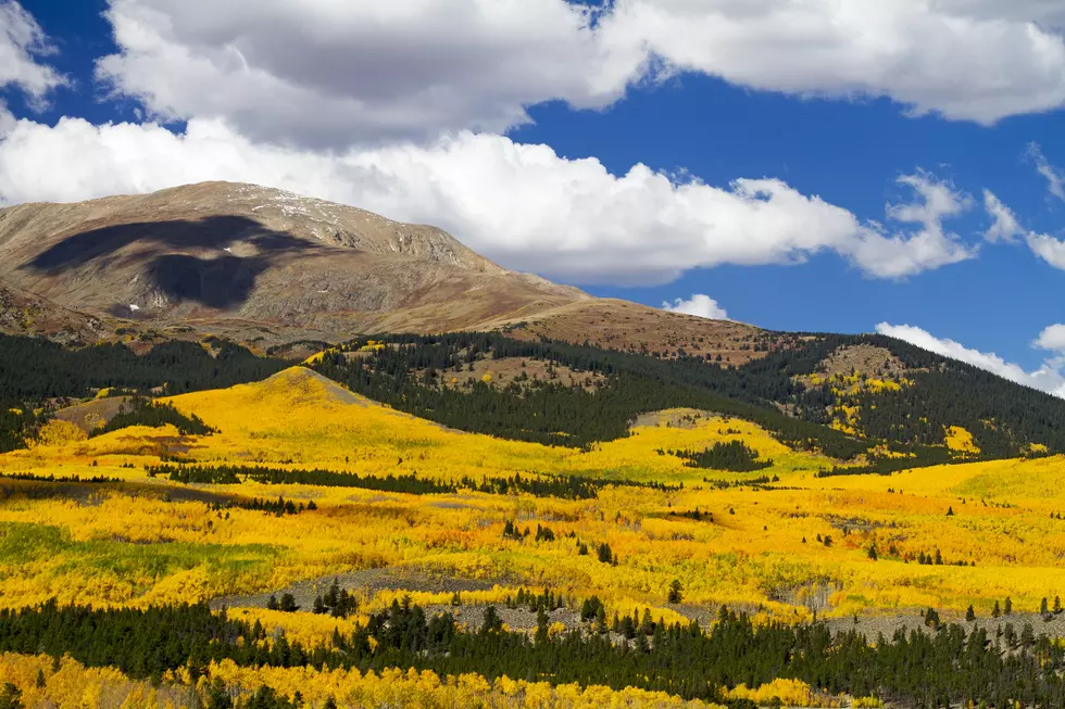
Golden aspens line your drive to Colorado's highest 14ers. Mount Elbert and Mount Massive. The byway crosses the Continental Divide, Independence Pass and ends in Aspen. The Top of the Rockies Scenic Byway is about 90 miles and two hours long.

More From Mix 104.3