
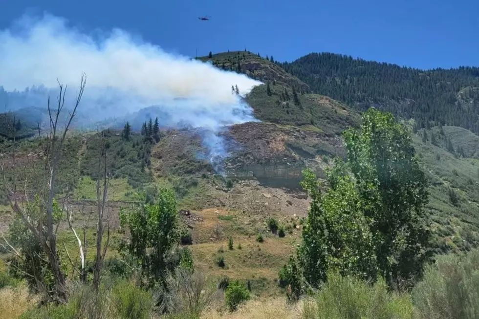
Everything We Know About Colorado’s Elk Fire Right Now
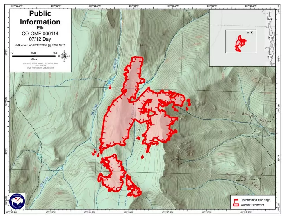
Colorado’s 2026 Elk Fire is a wildfire burning in the Uncompahgre Wilderness between Elk Creek and Little Elk Creek, near the Gunnison-Hinsdale county line.
First reported on July 9, the fire started naturally following a lightning strike, and immediately sparked a response from firefighters, helicopters, and air tankers due to the steep, rugged terrain. While the Wyoming Interagency Management Type 3 Team One takes command of the fire, here’s what we know about the fire right now.

Where Is the Elk Fire Burning?
Read More: Colorado Fire Threat Stops Popular Buckhorn Lakes Recreation
The Elk Fire has the potential to make a bad wildfire season even worse if it joins up with the already fierce Gold Mountain Fire to the West. Elk Fire is only 3.5 miles from Colorado’s busy highway 149, and only about 6 miles Northwest of Lake City. The fire is in the backcountry with limited access for firefighters, requiring helicopters and hand crews to battle the blaze.
Evacuations and Closures: What Residents Need to Know
Both Gunnison and Hinsdale Counties have now issued pre-evacuation warnings for the Elk Fire. In Gunnison County, Zone GNN-220 covers Highway 149 in Gunnison County. Several zones in Hinsdale County are also issuing pre-evacuation warnings for properties along 149 in Hinsdale County. See the evacuation zone map for the Gold Mountain Fire and Elk Fire here. Gold Mountain and Elk Fire Information updates (8 a.m. to 8 p.m.) are available at 970-325-3056.
How Is the Elk Fire Connected to the Gold Mountain Fire?
Read More: Colorado's Fastest Way to Check Gold Mountain Fire Evacuations
The Gold Mountain Fire and the Elk Fire are separate incidents. The bad news is that the proximity of these fires means there is a risk of these fires merging. The good news is that fire managers can share assets and aircraft when conditions permit. It’s possible that smoke from these fires could combine to make travel difficult around Lake City and Highway 149. The most reliable updates are available through Watch Duty, Gunnison County Office of Emergency Management, Hinsdale County Sheriff's Office, and the GMUG National Forests.
LOOK: Colorado Wildfire Damage by Year, Number of Fires + Acres Burned
Gallery Credit: Tim Gray
MORE: See Photos of the Gold Mountain Fire Near Ouray, Colorado
Gallery Credit: Wesley Adams
COOL OFF: Beat the Heat at These Grand Valley Pools and Splash Pads
Gallery Credit: Wesley Adams
More From Mix 104.3
